
 By Hashim Hashmi

This article covers how to build reliable bike routes, compares free and paid app features, and explains how to avoid common digital navigation errors. You will also learn how to choose the right desktop or mobile workflow for your cycling needs.
Cycle Route Planner UK: The Best Free and Paid Apps for 2024
Choosing the best cycle route planner in the UK depends on whether you prefer quiet country lanes, dedicated traffic-free paths, or fast road cycling. Platforms like Komoot, Ride with GPS, and cycle.travel offer distinct mapping engines tailored to British terrain.

When you map out a weekend ride or a cross-country commute, you need digital tools that understand UK road classifications. Relying purely on car navigation software often lands you on busy dual carriageways where HGVs thunder past at sixty miles per hour. A dedicated cycle route planner factors in surface types, elevation profiles, and official National Cycle Network paths managed by the Walk Wheel Cycle Trust.
Cycle route planning uk: How to build safe and efficient trips
Building a reliable route requires you to balance distance, elevation, and road surface quality before you clip into your pedals. Set your preferred transport profile within your chosen platform first. Select road cycling, gravel riding, or touring to match your bike setup.
-
- Open your chosen web planner or mobile app and enter your start and end locations.
- Apply the quiet-route or traffic-free filter to strip out major A-roads and dual carriageways.
- Check the elevation profile graph to identify steep climbs, particularly when crossing terrain like the Pennines or the North Downs.
- Inspect the surface type breakdown to ensure you do not inadvertently route a delicate racing bike onto unpaved forestry tracks.
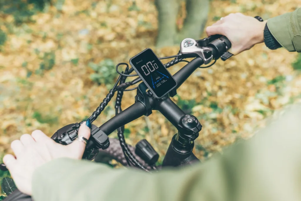
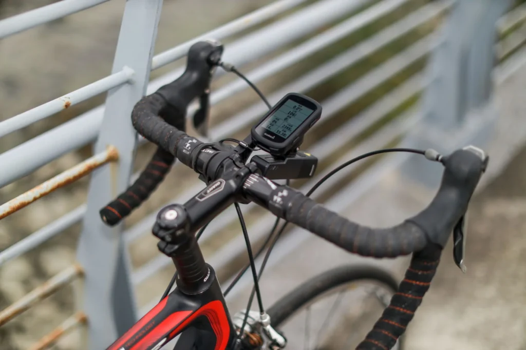
- Export the finished file as a GPX format and sync it to your bike computer or smartphone navigation mount.
Bike route planner uk: Free tools compared
Free cycle route planners let you map and export routes without a subscription. Paid tiers unlock offline maps, turn-by-turn voice guidance, and topographic layers. Free options suit casual riders, whereas touring cyclists benefit from paid features.
| Planner | Free Tier | Paid Tier | Key Feature |
|---|---|---|---|
| Komoot | Region unlock | £59.99/year Premium | Turn-by-turn voice navigation and surface types |
| Ride with GPS | Basic planning | £39.99/year Basic, £79.99/year Pro | Advanced trip metrics and extensive route library |
| cycle.travel | Free | Free (donation supported) | Prioritises quiet lanes and touring routes |
| OS Maps | Basic web view | £23.99/year | Ordnance Survey topographic mapping |
Komoot gives you your first region free, with regional unlocks ranging from £3.99 to £8.99 and worldwide maps available for £29.99. Ride with GPS offers a basic free option alongside paid plans starting at £39.99 per year. Meanwhile, cycle.travel remains entirely free and excels at routing you down the quietest lanes in the UK and Western Europe without charging a penny.
Cycle route finder uk: Finding hidden paths and gravel tracks
Finding legal and rideable off-road paths requires mapping engines that parse local rights of way accurately. If you want to explore bridleways, forest commission roads, and byways, you need tools that display granular path data.

Komoot highlights path surfaces clearly in its desktop and app planners, showing you precisely where tarmac ends and loose gravel begins. If you ride a gravel bike or a mountain bike, this distinction prevents unexpected hike-a-bike sections through boggy terrain. Cycle.travel explicitly routes away from heavy traffic by prioritizing quiet roads and traffic-free paths. Such tools generally prefer paved or good-quality compacted surfaces. [cycle.travel]
Cycle journey planner uk: Avoiding common navigation errors
Automated routing engines occasionally select paths that look clear on a satellite map but prove impassable in reality. You can avoid these frustrating dead ends by recognizing common digital mapping pitfalls before you leave home.

-
-
- Private land: Digital maps sometimes mistake private agricultural tracks for public rights of way. Cross-reference questionable rural connectors with Ordnance Survey data.
- Stiles and barriers: Automated planners do not always flag pedestrian stiles, heavy gates, or narrow chicane barriers. As a result, they may require you to dismount and lift a heavy touring bike.
- Seasonal closures: Towpaths alongside canals or rivers frequently close for engineering works or flood during autumn and winter storms.
-
Bicycle route planner uk: Who this advice does not suit
These consumer digital route planners do not suit professional race organizers needing closed-road traffic management orders, nor do they cater to heavy freight logistics. Competitors in time trials or closed-circuit road races require millimeter-accurate course certification. Standard leisure route planners will not provide this for official sporting events.
Free cycle route planner UK: Getting the most without paying
You can build comprehensive multi-day tours entirely for free by using browser-based tools. Cycle.travel operates without a paywall, allowing unlimited route creation and GPX downloads. You simply open the site on your laptop or mobile browser, click your way across the UK, and download the navigation file directly to your device storage.
Best cycle route planner UK: Desktop vs mobile app workflows
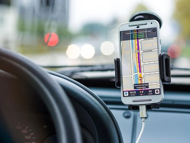
Planning on a desktop computer gives you a wider screen to inspect intricate junctions, bypass busy roundabouts, and drag route markers onto safer alternative roads. Mobile apps then let you execute the ride on the day, tracking your live location via GPS.

When you build a route on your desktop, you spot routing errors instantly. Once you transfer that route to your mobile app or dedicated cycling computer, you receive real-time cues that keep you on track without forcing you to constantly pull your phone from your pocket.
Best cycle route planner UK free options for club riders
Club riders and group coordinators need tools that allow smooth route sharing, elevation analysis, and cue sheet generation. Ride with GPS provides solid tools for group rides, letting you publish routes publicly or share private links with club members.

When multiple riders need identical directions, you export the master GPX file from your chosen planner and distribute it via email or messaging apps. Every club member loads the exact same file into their Wahoo, Garmin, or Hammerhead device, ensuring the whole peloton follows the intended route.
Cycle route planner app uk: Integrating national mapping data
You can build highly reliable trips by integrating official open data from the Walk Wheel Cycle Trust and the National Cycle Network, which covers over twelve thousand miles of signed paths across the UK. These paths include disused railway lines, canal towpaths, and quiet urban cycleways.
If you prefer paper maps alongside digital tools, OS Maps costs £34.99 per year and lets you plan exact routes over Ordnance Survey and Harvey maps. [campingsecrets.co.uk] Ordnance Survey mapping remains the gold standard for spotting public rights of way and minor tracks that standard road maps ignore entirely. Finished routes export easily as GPX files. Cyclists load them directly onto their cycling computer, whether using a Wahoo, Garmin, or Hammerhead device.
Frequently asked questions
What is the best cycle route planner in the UK for quiet roads?
Cycle.travel is widely considered the best free option for finding quiet lanes and traffic-free paths in the UK, as its routing algorithm specifically avoids busy main roads.
Can I use Google Maps as a cycle route planner in the UK?
Google Maps provides cycling directions that prioritize safer and quieter roads in major urban areas like London, but dedicated cycling apps offer superior surface details and GPX export features for longer countryside rides.
Do I need a paid subscription to export GPX files?
Most major cycle route planners, including cycle.travel, Komoot, and Ride with GPS, allow you to export GPX files on their free tiers so you can transfer routes straight to your bike computer.
Which cycle route planner app in the UK works best offline?
Komoot offers solid offline map storage within its mobile app when you unlock regional map packs or purchase a premium subscription, which keeps your turn-by-turn navigation running smoothly even in remote rural areas with no mobile phone signal.
Sources
- Unlock Britain’s Outdoors: 7 Reasons to Choose OS Maps Premium – Camping Secrets – Outdoor Guides and Reviews
- How cycle.travel is different